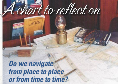
Do we navigate from place to place or from time to time?
Issue 43 : Jul/Aug 2005
As a gift, my brother-in-law presented me with a Maptech water proof book for the Block Island-to-Nantucket region. It prompted me to inventory the chart collection aboard my sailing vessel, Coppacetic, and weed out any that were old and no longer needed. I was surprised by how many charts I had accumulated over the years; there were at least three dozen in my antique brass chart tube and my newer plastic one. I made two piles, one for those charts to be discarded and another for keepers.
Before either contained more than a handful, I came across a venerable chart, 1210. It covered the waters between Martha’s Vineyard and Block Island. I had not looked upon it in a long time. I unrolled it very carefully, since the years had taken their toll. It had been folded at some point, and the creases were about ready to give way. The paper was slightly damp, as paper tends to get when it has absorbed salt from sweaty hands and the inevitable ocean spray.
Memories flooded my mind as the map images became recognizable. I recalled once again how much fun I had had in the area displayed before me on paper. I remembered looking at this very chart as a teen. It was frayed and faded when it was handed down to me by my mother’s cousin, Ed. I would spread it out on the kitchen table on cold winter nights and dream of sailing to places with strange, yet magical-sounding, names like Cutty-hunk and Penikese or Tashmoo and Menemsha, all of which, with fair wind, were all less than a day away from my home port.
Learned more
My brother, John, and I were fortunate that Uncle Rudy and Cousin Ed would occasionally take us on summer cruises. We learned a little more about navigation and seamanship each time. Sometimes we made mistakes — like the time Johnny dropped Uncle Rudy’s ratty, but for some reason treasured, mop overboard. Or the time I accidentally jibed and almost took Ed’s head off with a fast-moving, heavy boom. My brother’s action turned into a drill on how to recover objects or people lost overboard. Mine got me a fairly long and strong lecture on the topic of paying attention to what I was supposed to be doing. We tended to learn fairly quickly under Rudy’s and Ed’s tutelage.
I remember being surprised at how long it can take to travel an inch on a 1:80,000-scale chart while battering into rough seas, and I discovered the truth of the words, “The waves turn the minutes to hours,” from Gordon Lightfoot’s song, “The Wreck of the Edmund Fitzgerald.” Dealing with impenetrable offshore fog was at first frightening, then merely challenging. I recall the great feeling of accomplishment when navigation marks loomed up where and when they were supposed to after I had agonized over the degree of compensation for the effects of wind, waves, and current.
By the time we were in college, John and I sailed our mom, dad, and five siblings to the Elizabeth Islands and beyond. The chart is actually worn through in some spots, like where navigation mark R2 should be off Newport’s Brenton Point. It is from there that we began so many family adventures. As I gazed at the old 3- x 4-foot piece of paper I wondered, “Is there any place better to swim than Quick’s Hole? Is there a more scenic anchorage than Hadley’s Harbor? Can there be a more beautiful sight than the cliffs of Gay Head viewed just before sunset from the top of Cuttyhunk Island?”
Different each year
After college, there were “bachelor cruises.” The yawls, ketches, and sloops were chartered, and the crews were a little different each year. Perhaps I should have replaced old 1210 by then, but there was so much stored information on it. The parallel rules that were used for laying out courses had walked to Cormorant Rock, Ribbon Reef, Buzzards Bay Tower, Nebraska Shoal, and Seal Ledge countless times, and the headings to anywhere you wanted to go were already plotted, marked, and tested. There was comfort to be derived from that.
As I tried to decide which pile the old 1210 belonged in, I was hampered by images of people who had pored over that chart with me and who had passed on or whose sailing days were over. I could see their fingers tracing routes between cans and nuns, and I could hear their stories. I knew that at some point I would have to discard that old chart. But it wouldn’t be for a while.
Thank you to Sailrite Enterprises, Inc., for providing free access to back issues of Good Old Boat through intellectual property rights. Sailrite.com