What your charts say about you and your path through life
Issue 27: Nov/Dec 2002
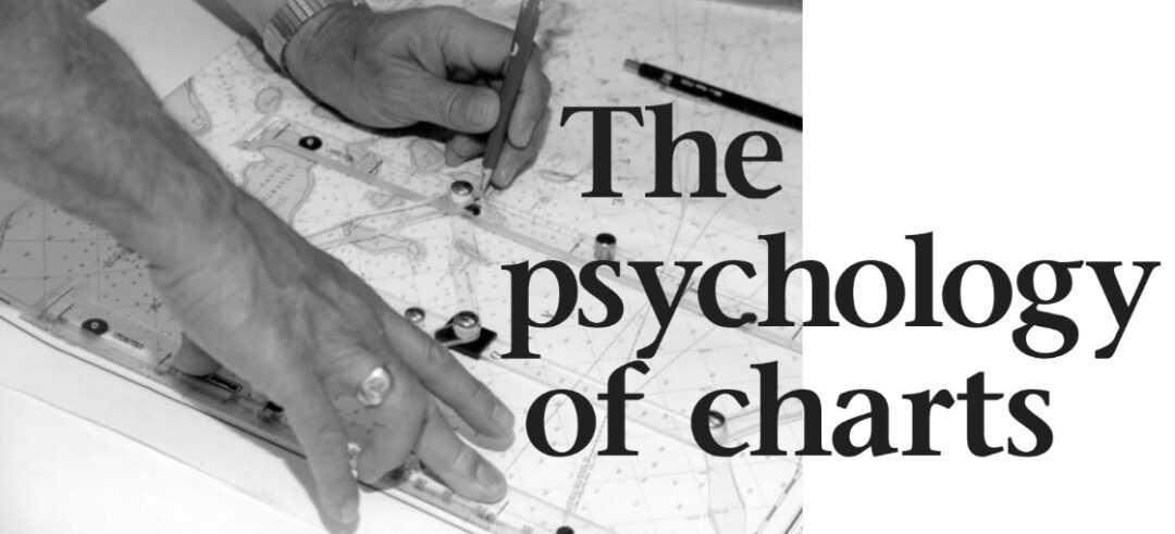
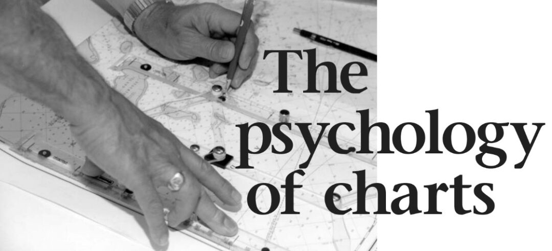
HAS IT EVER OCCURRED TO YOU what a wonderful relationship we sailors have with our charts? At some time or other, it’s likely that most of us have had to carefully study a borrowed harbor chart because we knew we wouldn’t have it when we needed it. We never forget that chart.
A number of years ago I single-handed one of the first Nor’Sea 27s down the West Coast. While waiting in Neah Bay at Cape Flattery, I met a young cruising couple also waiting for the fog to clear to make the same trip. My original plan had been to go down a hundred miles or so offshore then hang a left at the latitude of San Francisco. I had no other choice. That’s a dreadfully inhospitable stretch of coast with a steep rocky shoreline, storm-gathering capes, and lots of shipping. The small-scale coastal charts showed a few places that looked like they might be good to duck into if the need arose, but there were no larger-scale charts in print for most of them.
During the early days of local coastwise shipping, there had been lots of harbor charts of these tiny hooks and holes. But with the introduction of highways up and down the coast, lumber schooners no longer stopped. It became a short drive to the inland towns for supplies rather than waiting for regular coasting traders to come calling. The detailed charts were no longer needed and had been allowed to go out of print. Without them, the singlehanded sailor has no other option but to go far enough out to have plenty of sea room — adding miles to the passage and extending the time exposed to deteriorating weather.
The cruising couple I met had been involved in some sort of marine science and, through a connection at their university library, had copies of a lot of those old out-of-print charts. What a bonanza!
Traced them
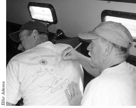
I borrowed a bunch of them and made tracings of the areas I thought I might need. Those crude charts changed the whole trip. With only cranky sheet-to-tiller self-steering, going down the coast would have been a serious piece of work. Armed with those charts, though, I was able to slip down in easy stages in the weather of my own choosing. The anticipated ordeal became such a pleasure that I took four months to do it and had a lovely time.
For a long time afterward, those rough little charts evoked all the pleasures and the challenges of my first ocean sailing. The very act of copying them had so imprinted them in my brain that, 30 years later, I could probably still draw them with reasonable accuracy. I wish I had hung on to them, but they have slipped away.
No matter what our cruising style may be, my bet is that we all have some charts with courselines and positions drawn all over them while most of the rest, however old they may be, have none. The clean and unsullied charts remind us of the good weather and the easy sailing when exact piloting took a back seat to the kind of relaxation Wendy and I call “mind drift.” We all know it. It’s the picture in the sailboat ads.
That’s not all there is to cruising, though. To recall the feelings of the other times, those trying hours when we were wet and maybe a little scared, we have only to gently open the charts that are all stiff and rough from having been thoroughly wet, the ones with all the position labels and bearing lines. Just the feel of our chart of Rocky Pass reminds me of how well Wendy and I collaborated to steer and pilot our way through it in thick weather on our first trip to Alaska. Ninety percent of cruising may well be the calm and beautiful stuff of the boat ads, but it’s the charts themselves that remind us of the wet passage and the anxious first entry on the dark and stormy night.
Life record
Sometimes I feel that our charts are a record of our lives as much as they are a record of our travels. Some years ago when a friend died, his family asked if our boat could be used to take his ashes to be sprinkled near their Puget Sound home. The deed was done with proper solemnity, and I noted the exact lat-lon in the margin of the chart. On the way home we honored our friend with round after round of the coarse sea chanteys he loved so well. Years later it came time to replace that old chart, and in comparing the new edition to the old, I came upon that cryptic note. After a moment of fond recollection, I dutifully transferred it to the new chart . . . and so it goes on.
Is there any one of us who, on a winter night, has not knelt on the floor, like a child among gifts, charts spread around, planning the next voyage? It will be a cold day, as my father used to say, when we do that gathered around a glowing screen and a little thingy on the end of a wire.
Truth is fleeting
As with so many things, the deeper we look, the more there is to see. In addition to being a record of the easy places as well as the shoals and rocks of our passages, our charts also have deeper and more metaphorical lessons to teach. Take “truth,” for example. What better place than in our charts to see the impossibility of ever pinning down “truth” once and for all. However surely the satellite may see it, however faithfully the computer may scan it, the bay will eventually shoal, the engineers will add “Bn RW 6 A,” and the breakwater will be extended. Try as they may, every detail on the chart is only true at the moment it is first recorded — and maybe not even then.
Cartographers are people of precision and detail. They draw with sharp pens, not sumi brushes. They like fine lines and exact numbers. Doesn’t the chart itself, though, often warn “the prudent mariner” not to rely on any one bit of navigational information? From our first hard childhood consequences of following a wrong leader, we begin to know the importance of using our own judgment. Do we not, at a certain age, also learn the folly of confusing precision for accuracy? I note that my own relationship with my charts mirrors my relationship with the whole rest of the world — deep reverence mixed with a healthy dose of skepticism.
Looking around at my fellow sailors, I have even wondered how far a psychologist with a sense of humor might go in reading a person’s character or personality from the study of his or her charts. Are they rolled or folded? Are they stuffed into a locker or neatly layered, all in order, in their own drawer? Are they all the latest editions or, like ours, a mix of recent and antique, coffee-stained and pristine? The mind reels with the possibilities.
On second thought, it wouldn’t even take a professional. Show me an orderly set of charts, all the most current editions, all meticulously updated with Notices to Mariners, and I already know I’d probably rather not share a rum at sundown with that sailor.
Tracing them yourself — Jim Hawkins
ADECADE AGO, WHILE RETURNING FROM A YEAR OF living aboard, we were headed to a small Virginia marina on the Rappahannock River, where our boat was to sit on the hard until we figured out what was next. On the way south, we fairly flew down the Chesapeake, staying out in the middle of the bay all the way to Norfolk.
As we were just passing through and did not want to spend the money to get a good complement of charts, we had no charts of the Chesapeake. This was, admittedly, a risky strategy, but we got away with it in our rush south. But now, unable to just stay in the middle, we needed something more in order to make it into the Rappahannock safely. Still, we did not want to buy charts for this one-day, trip-ending journey.
A similar predicament had confronted us a year earlier at the Lake Ontario exit from the Trent-Severn Canal. Anxiously preparing for the 40-mile trek across the lake to Oswego, with the mast lying horizontal above the deck, we begged our well-supplied neighbor to let us glance at his charts. Eager to keep us from making the next day’s headlines, he graciously handed us the proper charts to peruse.
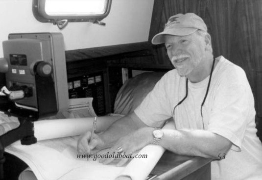
To our surprise, he ripped a few sheets of tracing paper from a pad he yanked out of his chart table. “Draw ’em. You’ll never remember the details,” he mocked as he thrust them into my hand. I thought, “I guess we’re not the only ones who sometimes lack just the right chart.” We eagerly sketched, copied actually, the “details” we would need to successfully transit the lake, and to find and safely enter the Oswego Harbor.
Now, preparing to head into the Chesapeake on the last day of our year aboard, once again without proper charts, we remembered that day on Lake Ontario. Digging out the pad of tracing paper (purchased, naturally, in Oswego) from deep in our own chart table, I jumped into the dinghy and made the rounds of the anchorage until I found a friendly and well-charted skipper willing to let me trace the “details” we would need to safely make the turn into the Rappahannock.
That pad of tracing paper still lies patiently in our chart table awaiting the next time we are chartless and won’t be able to “remember all the details.”
Thank you to Sailrite Enterprises, Inc., for providing free access to back issues of Good Old Boat through intellectual property rights. Sailrite.com