The author assures the reader in his Introduction, that “This book is not a rant against modern technology.” Rather, it ” . . . renews emphasis on personal skills, special knowledge and the use of the senses . . . ” In this regard, his book is clearly of value to coastal cruisers and passagemakers alike, although the sections that describe techniques for “No-Tech” and “Low-Tech” navigation will primarily benefit the passagemaker.
The first section of this book is a fine, concise review of the navigation skills and accomplishments of earlier mariners: the Pacific Islanders; the Vikings; Pharaohs and Phoenicians; the Arabs, and finally, the Chinese. The Polynesian navigators’ ability to carry in their minds a chart of their world and the sailing instructions for passages among the many known islands is awe-inspiring. Their associated ability to track the motion of their vessel through this mental chart is equally impressive. For me, this planted a sort of subliminal message from the author that surely we modern navigators should be able to improve our dead reckoning through more attentive use of our senses.
Part two of this book, Practical No-Tech Navigation, teaches a variety of techniques for determining heading, estimating latitude, and for detecting the presence of land. As the author succinctly puts it, this section ” . . . is about what you can see and what is in your head.” The what’s-in-your-head bit is a recurring theme in this book.
The third section, Do-it-Yourself Lo-Tech Navigation, introduces a number of simple tools to greatly improve knowledge of heading and position (latitude and longitude) in combination with some “special” knowledge. In particular, the navigator needs to know the annual variation of the sun’s declination in order to determine latitude from a noon sight. They also need to know the equation of time (i.e., the systematic variation of local noon throughout the year) to determine longitude with a quartz watch set to Greenwich Mean Time. The author includes a little poem to help remember the maximum and minimum values for the equation of time. He also provides convenient tables for both parameters on his website, which can be downloaded and included in the navigator’s emergency kit.
This book is nicely illustrated and extensively annotated. It also includes a useful appendix of websites that range from Celestial Navigation to the History of Cartography. This book will be a good read for any mariners who enjoy the art and science of navigation.
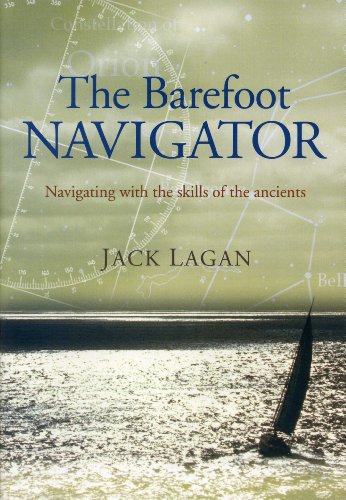
The Barefoot Navigator: Navigating with the skills of the ancients by Jack Lagan (Sheridan House, 2006; 148 pages)

