 “Do we need another book of anchorages along the ICW?” I asked myself this question several times after receiving The Great Book of Anchorages, and the answer still evades me. On my trips along the ICW, from the Chesapeake to Key West, I’ve used The Intracoastal Waterway Chart Book; Jack Dozier’s Waterway Guides; Skipper Bob’s Anchorages Along the Intracoastal Waterway, which now is in its 17th edition and published by Dozier; Maptech charts and their cruising guides; as well as Navionics electronic charts and, more recently, ActiveCaptain online. Frankly, there is no shortage of guides, and it’s hard to keep track of them. It turns out that much of the time motoring along the ICW is spent reading charts and guides, all the while running the risk of missing the trip.
I wish Chuck Baier and his wife and partner, Susan Landry, former general manager and former editor, respectively, of Dozier’s Waterway Guide, had explained forthrightly why we needed this new anchorage guide, the first of what they plan to produce for the Bahamas and then the Great Loop. They claim on their website (<http://www.tgboa.com/home>) that “Over 20 years of cruising these waters has provided us with the knowledge and understanding to provide our fellow boaters with the information you’ve asked for.” Yet, I’m not sure this new contribution to the field really offers more than can be found elsewhere, even with an abbreviated interactive map of anchorages on their website.
Anchorages begins with a three-page discussion of the six most common anchor types, three pages on how to anchor, and then nine pages in which the authors offer their suggested trip down the ICW, with anchorages but without marina stops. The actual information for each anchorage follows, with three “chartlets” from NOAA charts showing the approach to each anchorage. Each chartlet includes the anchorage name, statute mile on the ICW, Lat/Long, approach depth, anchorage depth, type of bottom and holding, wind protection, shore access, and a box with brief comments focusing on such topics as room in the anchorage, current, boat traffic, giving a close-by alternate anchorage, and approach information. The anchorage descriptions begin in Hampton Roads, Virginia, and proceed to the Florida Keys from SM 0 to SM 1238, including the Virginia Cut route and the Dismal Swamp route at the beginning and the Hawk Channel and ICW routes south of Miami. Following mile 1238, anchorages for the St. Johns River are listed beginning at river mile 3 through RM 160 (Lake Monroe Park). An anchorage index by SM and another alphabetical one close out the volume.
In general, I found the chartlets relatively easy to read, although I had to compare them with a full chart to really grasp the orientation of many, and the information provided was adequate but limited. The authors promise on the cover a list of over 530 anchorages and free docks; however, there are only 381 named anchorages, each with chartlets. The additional 149 anchorages promised must be on the chartlets that show one, sometimes two, alternate spots to drop the hook (I did not try to count them all). I was surprised at the omission of one Florida anchorage, Maule Lake, at SM 1077.5, which is probably the best anchorage in the vicinity, and even though a small anchoring fee is charged in No Name Harbor (SM 1095.5), I found it surprising that the authors recommended the exposed Cape Florida anchorage outside the harbor.
I took the time to compare every listed anchorage with those appearing on ActiveCaptain and I found the exercise enlightening. I found only 38 of 258 ICW anchorages listed in Anchorages, just under 15 percent, were not on ActiveCaptain. In 24 cases, anchorage names were different between Anchorages and ActiveCaptain. More significantly, I found that the brief comments on each anchorage paled in the face of multiple reviews of anchorages on ActiveCaptain.
The Great Book of Anchorages certainly will provide first-timers on the ICW with useful anchorage information, and sailors like myself, who just can’t keep their hands off cruising guides and the like, will probably add it to their collection. But I’m not sure I see a big future in print editions of anchorage guides. Earlier this year, Garmin licensed Active Captain’s interactive cruising guidebook to integrate it into their BlueChart Mobile app for iPad and iPhone, and I cannot believe that other electronic charting firms will not similarly be drawing on ActiveCaptain’s rich database. Rather than another series of printed guides, all rather pricey, I’d prefer to have an electronic chart system with the anchorage guide built in. Well, that is, until the electronics fail.
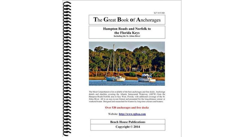
The Great Book of Anchorages: Hampton Roads and Norfolk to The Florida Keys by Chuck Baier and Susan Landry (Beach House Publications, 2012; 154 pages)